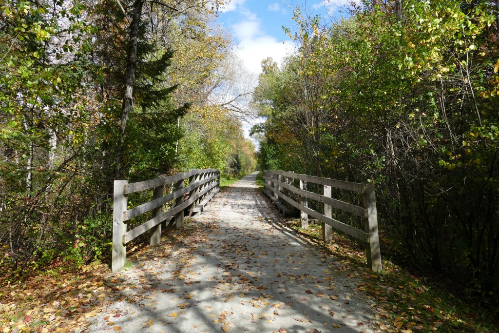
Bicycle path in the Canton de Hatley
The Massawippi Axis of the Véloroute des Grandes Fourches is a 14 Km bike path connecting Sherbrooke to North Hatley.
You may take it from downtown Sherbrooke or from Lennoxville. The path follows the Massawippi river and passes by the Mine Capelton and ends in the quaint North Hatley village. The path is relatively flat and not too linear.
A 40-space parking lot was built in 2025 on Kingdom Road to provide access to the bike path and the Massawippi River. Parking is also available at the Mine Capelton (5800 Capelton Road).
A bike repair station with tools and a pump is available at the Mine Capelton welcome station.
Grandes-Fourches Cycling Network : https://www.easterntownships.org/cycling/circuit/14/grandes-fourches-cycling-network-massawippi-axis
Official 2023-2024 bike map: carte vélo de Memphrémagog

Cross-country skiing and walking trail
Part of the bike path is groomed in winter into a cross-country ski and walking trail. The trail is maintained over a distance of 8 km, between the Capelton Mine and the Massawippi River dam on Vaughan Road near North Hatley. Parking is available at the Capelton Mine (5800 Chemin de Capelton) as well as at the end of Kingdom Road. A pleasant activity to enjoy winter with the family and admire the landscapes of our beautiful locality!
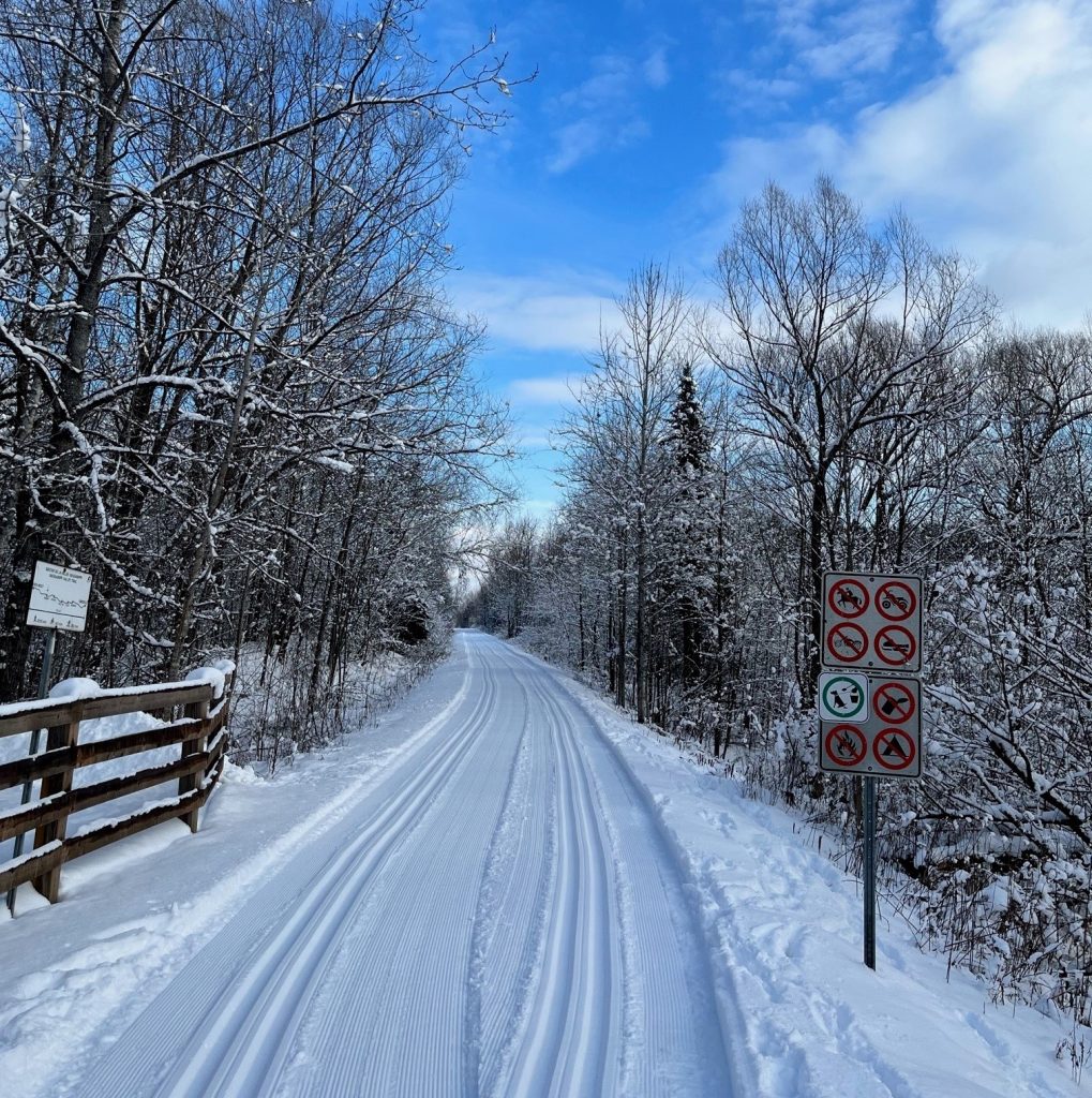
The municipality acquired a grooming machine, so the trail will be groomed in-house as needed and according to conditions.